The terroir
Loire Valley, Anjou Noir, in the south of the Butte de Chaume.
Xavier Martin is working on two plots located in Le Plessis, in Saint Lambert du Lattay. They are located in the Loire River watershed, more precisely the Layon River. On the left bank of the Layon, they are separated by a small stream.
Both plots are located on a plateau south of the Butte de Chaume at an altitude of around 50 meters. Both plots have a slope of 2 to 12% oriented towards the stream.
The oldest rocks in Maine-et-Loire
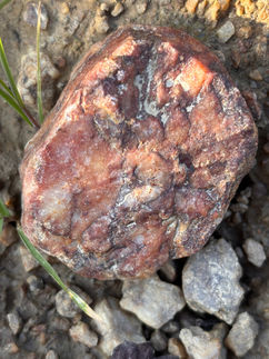
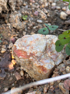
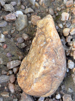
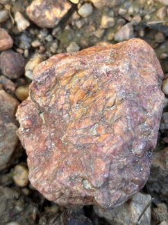
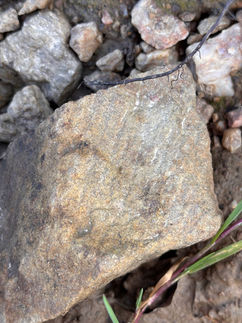
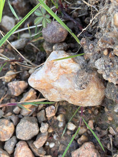
These appear on a substrate consisting of Precambrian basement, more precisely the Brioverian (Neoproterozoic). They are in fact the oldest sedimentary rocks in Maine-et-Loire, over 580 million years old. The rocks in this unit are metasedimentary rocks (metamorphosed sedimentary rocks) whose original rocks were pelites and sandstones. Pelites (derived from the finest sediments) will produce mica schists with a characteristic layered flow; sandstones derived from consolidated sands will produce metagraywackes with a coarser flow). These rocks are folded, fractured, and veined with fairly frequent white quartz veins. The weathering of these rocks reveals the most resistant elements: metagraywackes and quartz veins. The elements least resistant to weathering will produce clays and silts. On the surface, there are superficial formations of sand and gravel attributed to the Cenomanian (Upper Cretaceous) of variable thickness and often present as relicts after erosion. The pebbles and gravels are rolled and quite diverse; they are encased in a sandy and/or clayey matrix that is quite reddened (reddened by iron oxides).
Both plots are dominated by Brunisol-Redoxisols. Bocage is present here with medium-thickness, silty-clayey soils that are more or less leached, mostly hydromorphic and naturally slightly acidic.

Proximity to natural areas
The site is close to the Pont Barré Regional Nature Reserve, as well as the Natura 2000 site under the Habitats Directive, the ZNIEFF Type II (Natural Area of Ecological, Faunal, and Floristic Interest), the National Geological Heritage Inventory, and also a prescribed zone for compensatory measures for damage to biodiversity.
Location of plots based on the Napoleonic cadastral map from 1824
(source: Maine-et-Loire departmental archives; map A from Le Plessis to Saint-Lambert-du-Lattay)


